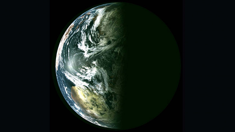
The device transmitted to Earth a photo of the Arctic region and adjacent territories
Hydrometeorological spacecraft «Arktika-M» No. 2, during flight tests, received and transmitted the first images to Earth. The satellite was launched from the Baikonur Cosmodrome on December 16, 2023 by the Soyuz-2.1b launch vehicle. with the «Fregat» accelerating block. It is located in a working highly elliptical orbit of the Molniya type. with an inclination to the equator of 63.3 degrees, an apogee altitude of approximately 38,900 km and perigee — 1,400 km. All systems of the spacecraft are functioning normally, Roscosmos noted.
The first images of the satellite «Arktika-M» No. 2, transmitted to Earth, were images of the Arctic region and surrounding areas. This spacecraft, together with the first satellite «Arktika-M», will provide a continuous overview of the northern territory of Russia and the Arctic region, obtaining heliogeophysical information, relaying data from ground-based meteorological platforms and transmitting COSPAS-SARSAT position signals to rescue services ships and aircraft in distress.

