2GIS receives weather data from the Meteonovosti service of the DANIO-press company
The team of the 2GIS mapping service announced the launch of a major update. The service began to display weather information on maps — actual air temperature in the selected location, the presence of clouds and precipitation.
As noted in the press service, now it will be more convenient for users to plan trips and walks — for example, choosing a weather-appropriate way to travel around the city, finding out if it is raining at your destination and whether you need to take an umbrella.
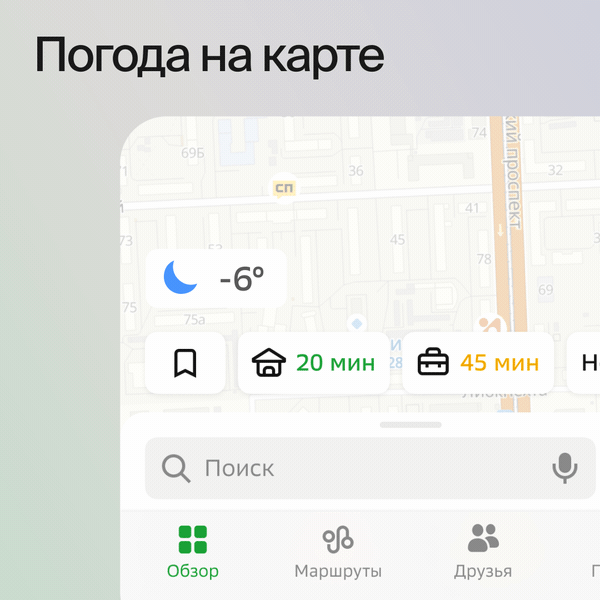
The weather widget on the main screen of the 2GIS mobile application shows what the current air temperature is, cloudiness and whether there is precipitation — in that part of the city that the user sees on the map. When you move the map, the weather changes to the current one in the new location.
Weather is already available on the main screen of the 2GIS application on iOS, in the near future it will appear in navigator mode, as well as — in the geoservice application for Android.